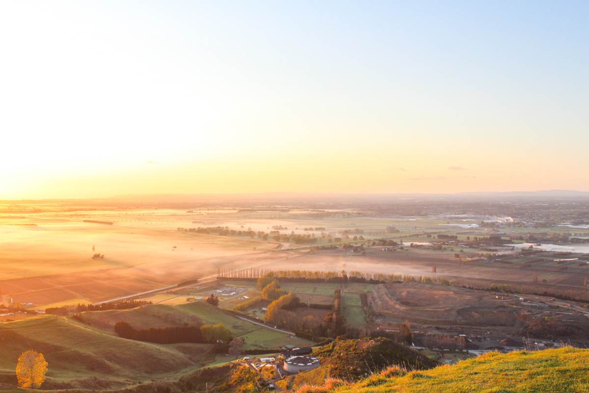
Papamoa Hills Regional Park delivers one of the Bay of Plenty’s most rewarding short walks with sweeping 360° views of Mount Maunganui to the Pacific Ocean, open farmland tracks, and a landscape dotted with historic pā sites, all just 20 minutes from Tauranga.
Whether you’re after a quick summit for the views, a longer loop to explore more, or a peaceful sunrise, this guide covers everything you need.
This post may contain affiliate links. Your purchase through these links supports me with a commission, at no added expense to you.
KEY TAKEAWAYS
- This post is a practical guide to walking Papamoa Hills Regional Park, just 20 minutes from Tauranga that delivers outstanding 360° Bay of Plenty views from the summit, plus farmland tracks and historic pā sites.
- It’s ideal if you want a short, rewarding hike with big scenery, cultural interest, and minimal logistics. It’s perfect for a half-day outing, sunrise visit, or combining with Papamoa Beach and other Bay of Plenty stops.
- You’ll get clear trail stats (distance, elevation, time, difficulty for both the summit and loop options), exact access and parking details (including newer facilities), what to expect on the tracks, practical rules and tips, nearby accommodation ideas, and everything needed to plan a smooth visit.
LOCATION OVERVIEW
Tucked away in the scenic Bay of Plenty, New Zealand, Papamoa Hills spans across a 182-hectare property. Located a short 20 minutes (19km) from Tauranga, an hours drive (72km) from Whakatāne or additionally, a scenic three-hours (240km) road trip from bustling Auckland.
Setting out from Tauranga? Start your journey on State Highway 2, then switch onto the Pacific Coast Highway. When you reach Poplar Lane, less than one km will bring you to either of the carparks, where you can start exploring Papamoa Hills Regional Park.
HOW TO GET TO PAPAMOA HILLS REGIONAL PARK
Parking at the base of the Papamoa Hills Regional Park is super convenient and there’s also two options to choose from.
Recently, upgrades along Poplar Lane introduced a new carpark, featuring a wheelchair-friendly short loop track. Additionally, an 80m staircase provides a more direct route within the new track and provides easy access to some less-traveled paths.
Continuing down the road, you’ll come across the original carpark, where the path will lead up to the trig station. I personally am yet to experience the tracks from the new carpark, something that I’m looking forward to. There is also now a new 1500m walkway connecting the new carpark to the original one.
KEY INSIGHTS FOR THE PAPAMOA HILLS REGIONAL PARK WALK
SUMMIT
Distance: 3.7 km | 2.3 miles
Elevation: 194 meters (total)
Duration: 1 hour 15 minutes
Difficulty: Easy
Trail Type: There-and-back
Open: Year-round
SUMMIT & LOOP
Distance: 5.3 km | 3.3 miles
Elevation: 258 meters (total)
Duration: 2 hours
Difficulty: Easy
Trail Type: Loop
Open: Year-round
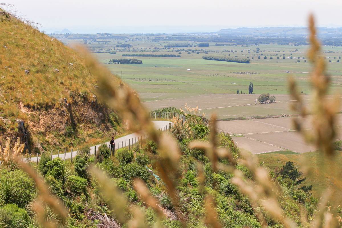
Both trails begin on the same path, with the loop providing a more comprehensive exploration of the Regional Park boundary. Initially, both paths lead over gravel terrain before opening up to lush grasslands. As you traverse the park, expect to encounter its resident four-legged visitors, as all tracks wind through farmland.
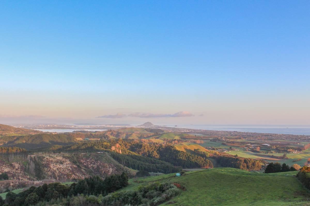
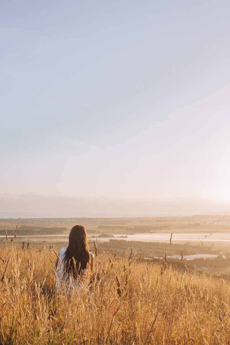
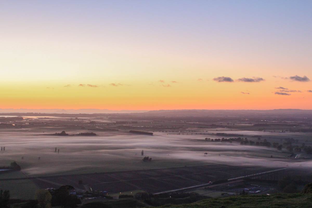
The views from the summit are incredible. Once you’re here, you’ll experience 360 scenery spanning the entire Bay, from Mount Maunganui to the vast expanse of the Pacific Ocean, tracing the coastline and extending across the landscape to the Waikato region. It really is a beautiful spot to take in all of the surroundings.
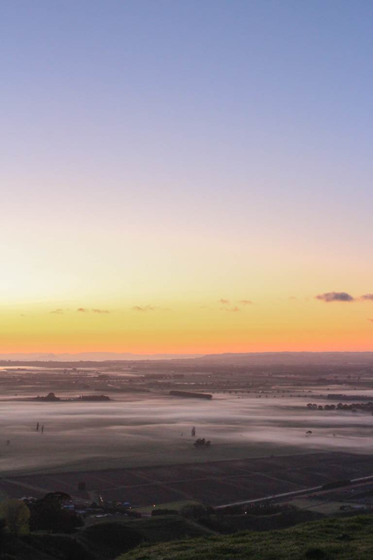
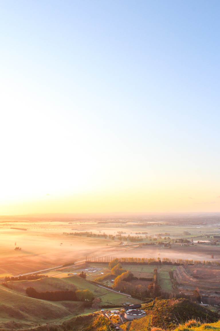
Personally, my favourite time to visit is sunrise. Particularly due to the early mornings being a little quieter and if you’re lucky, you’ll have parts of the park to yourself.
NORTH ISLAND HIKING GUIDE – 80+ TRAILS 🥾
I’d like to think that there are likeminded people out there that would love to experience this side of New Zealand.
So if you’re a lover of walking and hiking and plan to visit the North Island, I’ve created a guide with 80+ walks and hikes with all the details; stats, elevation, what to expect, alongside personal notes from someone who has done them all (me!!!). It also has itineraries and tips to make your trip even easier to plan.
Feel free to check it out below ☺️
PAPAMOA HILLS REGIONAL PARK
Papamoa Hills Regional Park offers more than just the incredible views across the Bay of Plenty. It’s a place steeped in cultural significance. With numerous pā sites scattered throughout the park, accompanied by informative panels, visitors have the opportunity to delve deeper into the rich history of the area while enjoying the stunning views.
OTHER POSTS YOU MIGHT LIKE
ACCOMMODATION NEARBY
Accommodation options around Papamoa Hills Regional Park are abundant, offering a variety of choices due to its proximity to many different areas. While AirBnB is a popular choice, those seeking a more unique experience may want to consider Canopy Camping. Understandably if this a bit beyond your budget, likewise Unyolked, Tiny Away or Riparide could be appealing. These accommodations cater to nature lovers and enthusiasts of the unplugged, glamping lifestyle. I’ve personally stayed in both Canopy Camping, Riparide and Tiny Away, but I’ve also heard great things about Unyolked. Interested in an experience with Tiny Away and want to know what to expect? Click here.
ADDITIONAL PAPAMOA REGIONAL PARK NOTES
- Every evening, staff lock the gate to the carpark.
- The park essentially opens from sunrise to sunset: 6.30 am – 7 pm (winter); 6.30 am – 9 pm (summer).
- Bay of Plenty Regional Council manages the park.
- Authorities prohibit dogs at all times.
- Horse trekking is prohibited.
- Authorities do not allow camping.
- Motorbikes are not permitted.
- Authorities prohibit fires.
- Mountain biking is prohibited.
WHAT'S NEXT
Papamoa Hills Regional Park is a perfect blend of sweeping 360° Bay of Plenty views, cultural pā sites, open farmland walking, and easy access just 20 minutes from Tauranga.
If you’re planning to hike Papamoa Hills and would like some company, I offer personalised hiking experiences where I capture moments along the way, so you can head home with some incredible memories.
Also, if you plan to explore more of New Zealand, I create personalised 1:1 travel itineraries tailored to your interests, travel style, and how you like to explore. Whether you’re chasing epic hikes, photography spots, or a relaxed road trip, I’ll help you build an itinerary that makes the most of your time. You can get in touch with me through my contact form here.
Or, if you’re simply after more walks like this, check out my other New Zealand travel guides for other hiking trails, photography locations, and outdoor adventures across the country. If you’re planning beyond New Zealand, you’ll also find plenty of inspiration in my international destination guides.
LIKE THIS POST? PIN IT HERE
FAQs
Is Papamoa Hills open to the public?
Yes, it is a public regional park managed by Bay of Plenty Regional Council. Gates to the carparks are locked overnight.
What does the name “Papamoa” (or Pāpāmoa) mean in Māori?
The most widely accepted meaning relates to traditional horticulture: “papa” (flat) + “moa” (raised), referring to raised beds or mounds for growing vegetables (such as kūmara) on the coastal flats. The hills themselves are known as Te Rae o Pāpāmoa.
What are some fun things to do in Pāpāmoa?
- Walk, swim, surf, or relax on Papamoa Beach (one of the area’s biggest draws).
- Explore the hills for the views and pā sites (as covered in this guide).
- Visit Papamoa Plaza or Fashion Island for shopping, cafés, and dining.
- Try beach horse rides, or nearby mountain-bike trails.
- Day-trip to Mount Maunganui, Tauranga, or other Bay of Plenty spots.
It’s an easy base for beach + hills combination days.
Are dogs allowed?
No, dogs are prohibited at all times to protect archaeological sites.
Is there parking and facilities?
Yes, two main options on Poplar Lane.
How hard is it / is it suitable for kids or limited mobility?
The main tracks have steep sections and are rated easy-to-moderate (good fitness and sturdy shoes recommended; very little shade). A short flat/wheelchair- and stroller-friendly loop exists near the new carpark.
Can I mountain bike, camp, take horses, or light fires?
No, all are prohibited.
Top Travel Resources to Plan Your Next Trip
Finding the Best Flights
Skyscanner: A great platform for comparing flight prices across airlines and routes.
Omio: Perfect for comparing not just flights but also trains and buses, especially for European travel.
Booking Your Stay
Hostelworld: Ideal for those specifically looking to budget on their travels and seeking hostels, guesthouses, or shared accommodations.
Booking.com: With a massive selection of hotels, apartments, and unique stays, this platform additionally has deals for frequent travellers.
Trivago: A powerful search engine for comparing hotel prices across multiple booking sites to find the best deals for your stay.
Renting a Car
Europcar: Offers a wide range of vehicles for hire in New Zealand and worldwide, perfect for exploring at your own pace.
AVIS: A trusted car rental service with a variety of vehicles and locations, ideal for seamless travel adventures.
Travel Essentials & Gear
Amazon.com: Your one-stop shop for travel gear, gadgets, packing essentials, and last-minute trip must-haves.
Discovering Amazing Activities
GetYourGuide: My go-to for booking tours, tickets, and activities in New Zealand and worldwide.
Everything New Zealand: A must for anyone traveling to New Zealand. This platform offers a curated selection of tours, activities, and adventures to make your Kiwi trip epic.
G Adventures: For small-group tours with a focus on sustainable and authentic travel, G Adventures is unbeatable.
Capturing Your Memories
MILK Books: Create stunning photo books to preserve your travel memories. Expect high-quality prints and customisable designs.
These links are affiliate links. If you book through them, I earn a small commission at no extra cost to you. Your support helps me keep sharing guides like this. Thanks for helping fuel the next adventure!
LATEST FROM THE BLOG
A SUMMARY OF PAPAMOA HILLS REGIONAL PARK WALK
- Trail Overview: Easy there-and-back or loop walks in a 182-hectare cultural heritage regional park in the Bay of Plenty, North Island. Features 360° summit views across the bay (Mount Maunganui to Pacific Ocean and inland), farmland, native bush pockets, and multiple historic pā sites.
- Key Stats: Summit track ~3.7 km / 2.3 miles return, 194 m elevation, ~1 hr 15 min, Easy. Summit + Loop ~5.3 km / 3.3 miles, 258 m elevation, ~2 hrs, Easy. Open year-round (sunrise–sunset); free entry. Summit elevation ~224 m.
- Best For: Walkers of most abilities seeking big coastal panoramas without a long drive or multi-day commitment; photographers (especially sunrise); those interested in Māori cultural history; day-trippers from Tauranga, Mount Maunganui, or further afield.
- Access & Logistics: Two carparks on Poplar Lane (newer one has wheelchair-friendly short loop + connecting 1,500 m walkway and staircase option). Managed by Bay of Plenty Regional Council.
- Tips: Sunrise for quieter tracks and golden light. Carry water and sun protection (limited shade higher up). Leave gates as found (operational farm). Check current track status for any weather-related closures.
- Nearby Attractions: Papamoa Beach, Mount Maunganui, Tauranga, Summerhill Recreation Farm trails, other Bay of Plenty coastal and inland spots.
- Safety & Practicality: Well-formed tracks through gravel, grassland, and some steeper sections. No dogs, camping, mountain bikes, horses, motorbikes, or fires. Gates locked overnight. Toilets and picnic areas at newer facilities. Download offline maps if needed.