Nestled on the West Coast of New Zealand sits Mount Karioi, a popular hiking trail. With its rugged terrain and stunning vistas, Mount Karioi is a challenging day hike however, it’s also one of the most rewarding.
Please note: Affiliate links may be included. Purchasing through them earns me a commission, with no additional cost to you.
In this blog post, we’ll delve into key insights about conquering this majestic peak, from trail options to essential preparations.
KEY INSIGHTS
Location: Raglan, New Zealand
Duration: 3 hours 30 minutes
Length: 7.9 km | 4.9 miles
Elevation: 640m
Difficulty: Moderate – Difficult
Open: Year-round
Need to have: Water, food and sun protection.
LOCATION
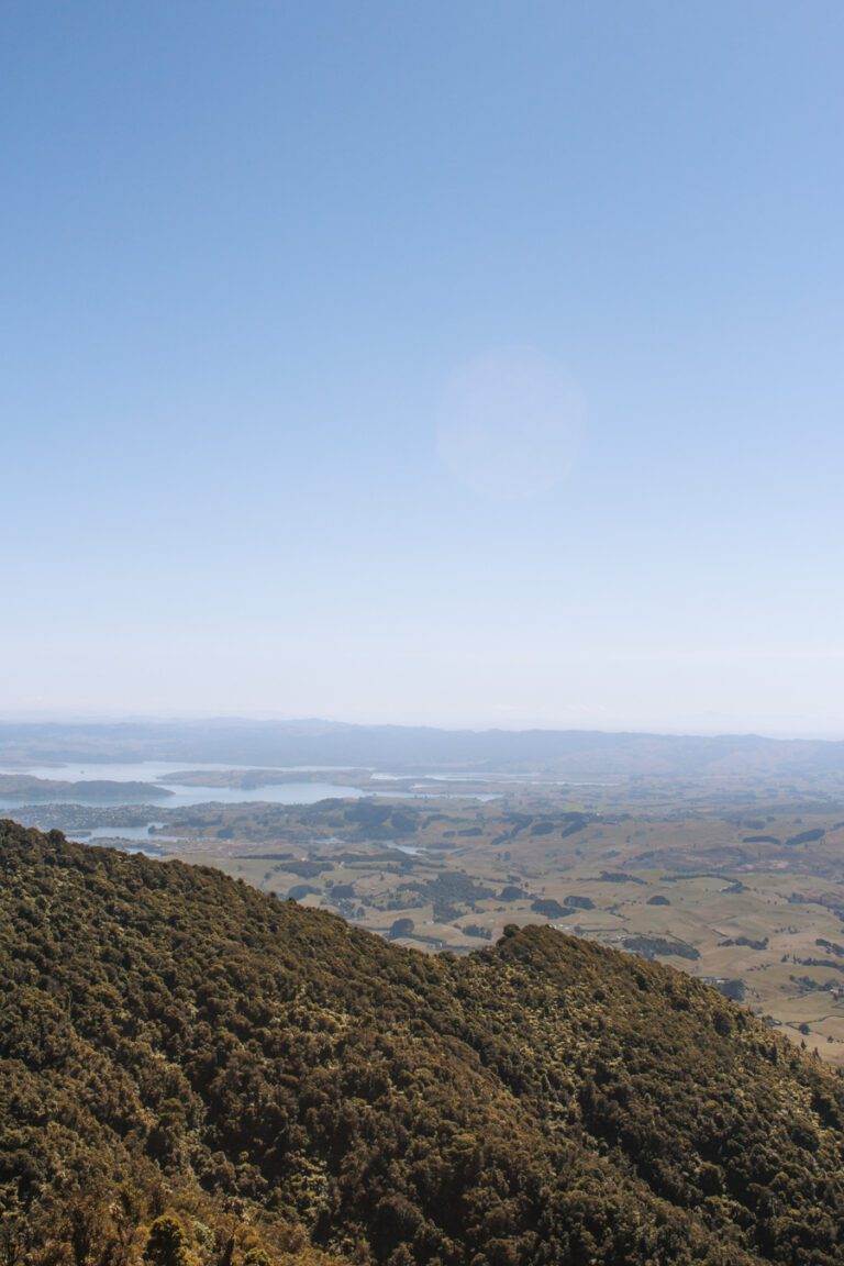
Located on the North Island in the Waikato, Mount Karioi is a two hour journey from Auckland and a little under an hour from Hamilton.
If venturing here from out of town, Raglan is where you’re likely to spend most of your time. Known as an epic little community this place boasts activities like rock climbing, canyoning and caving. But it is particularly well-known for its exceptional surf. Just a stone’s throw from Raglan lies a series of renowned surf breaks–Vortex Bay, Indicators, Manu and Whale Bay.
If you’re heading to Raglan to tackle Mount Karioi, it’s best to bring your own wheels. While buses are an option, having your own car gives you the flexibility to roam. It also makes getting to the mountain a breeze given it’s located off the beaten path.
MOUNT KARIOI TRACK
There are a few options on what trail to take when hiking Mount Karioi.
The first starts from Whaanga Road, the other from Karioi Road Car Park. Both are there-and-back journeys to the summit. Additionally, you can hike both trails, allowing you to traverse the entire mountain. To hike both without doubling back, there is the option to park a car at each end.
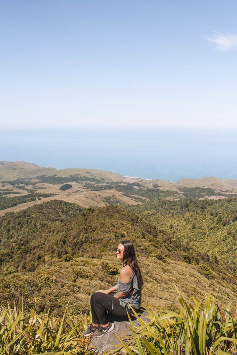
Starting from Whaanga Road is apparently the harder trail but we opted for this as it’s also much more scenic. If you’re wanting more details and reviews of this hike click here. Starting this side of the mountain also means you can incorporate the cliff view walk and Te Toto Gorge Lookout. Not bad.
With sections requiring chains to climb vertically and stepping over large tree roots, Mount Karioi is amongst one of the toughest day hikes I’ve tackled. During the dry months, the Whaanga Road trail begins and ends with hip-height grass and sandy, slippery terrain. Muddy conditions are more likely in colder months, too making the hike that little bit more challenging.
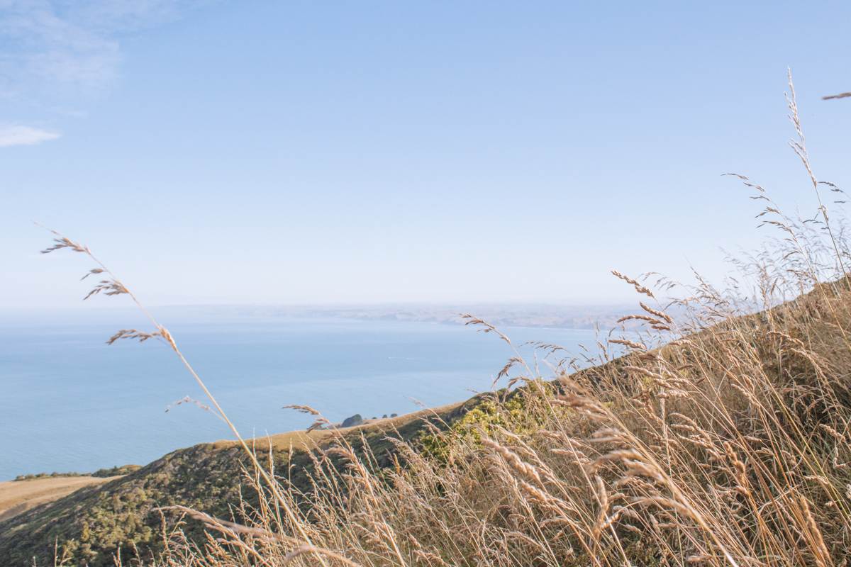
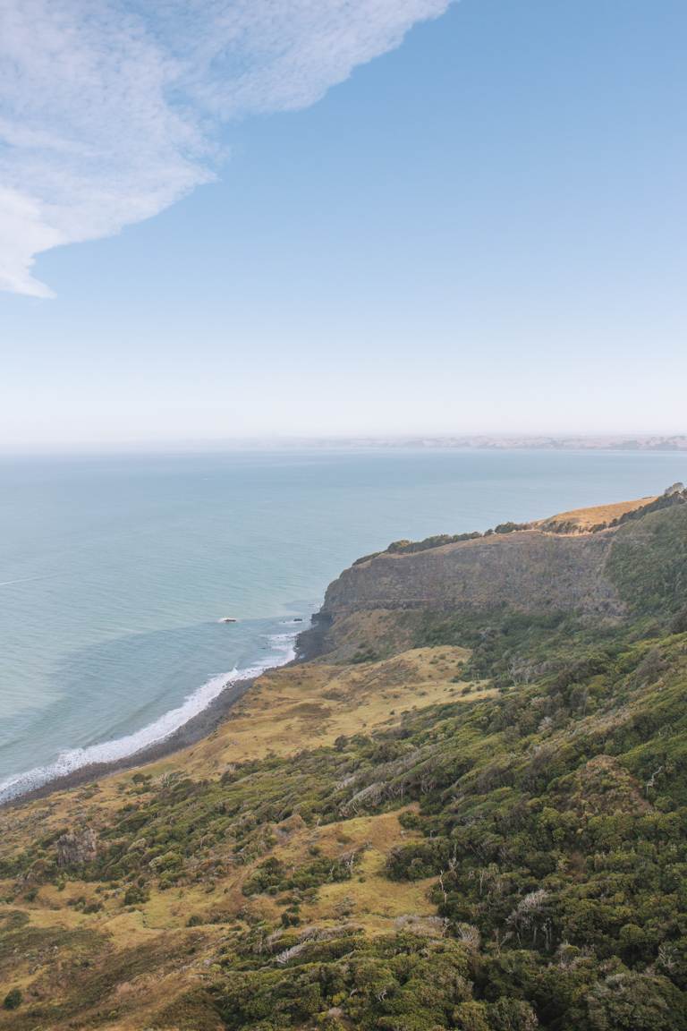
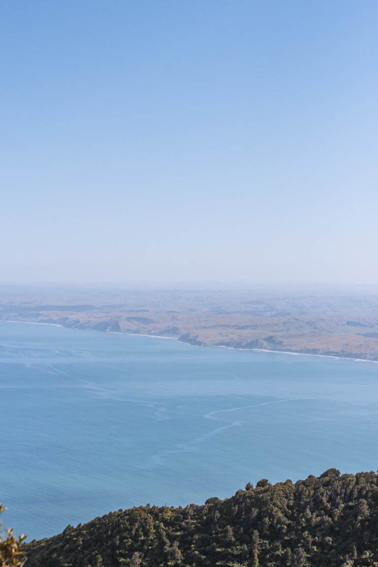
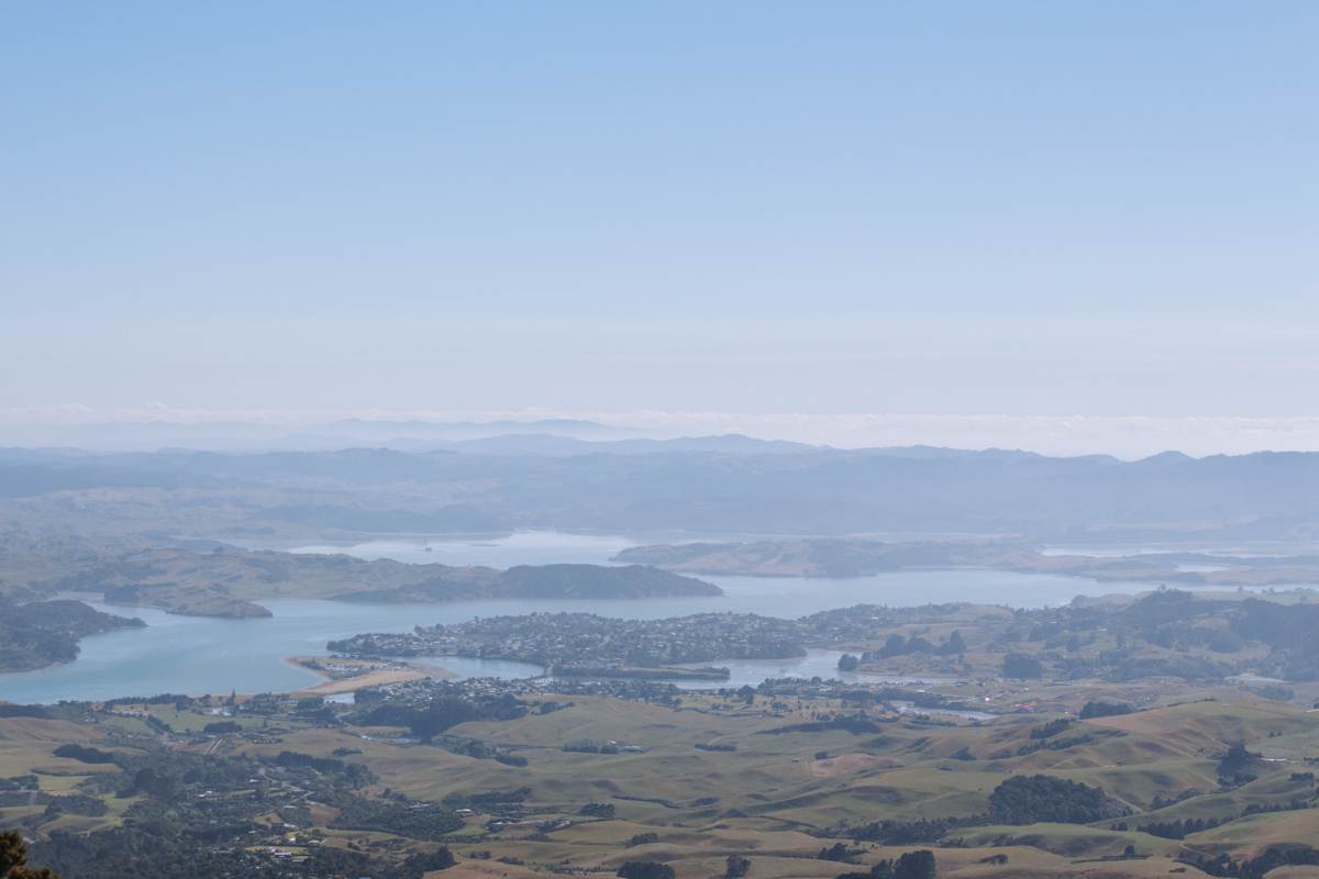
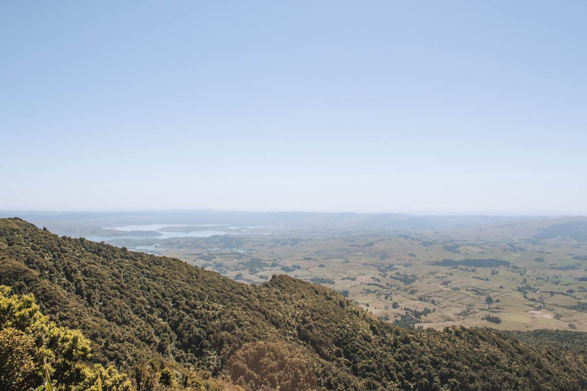
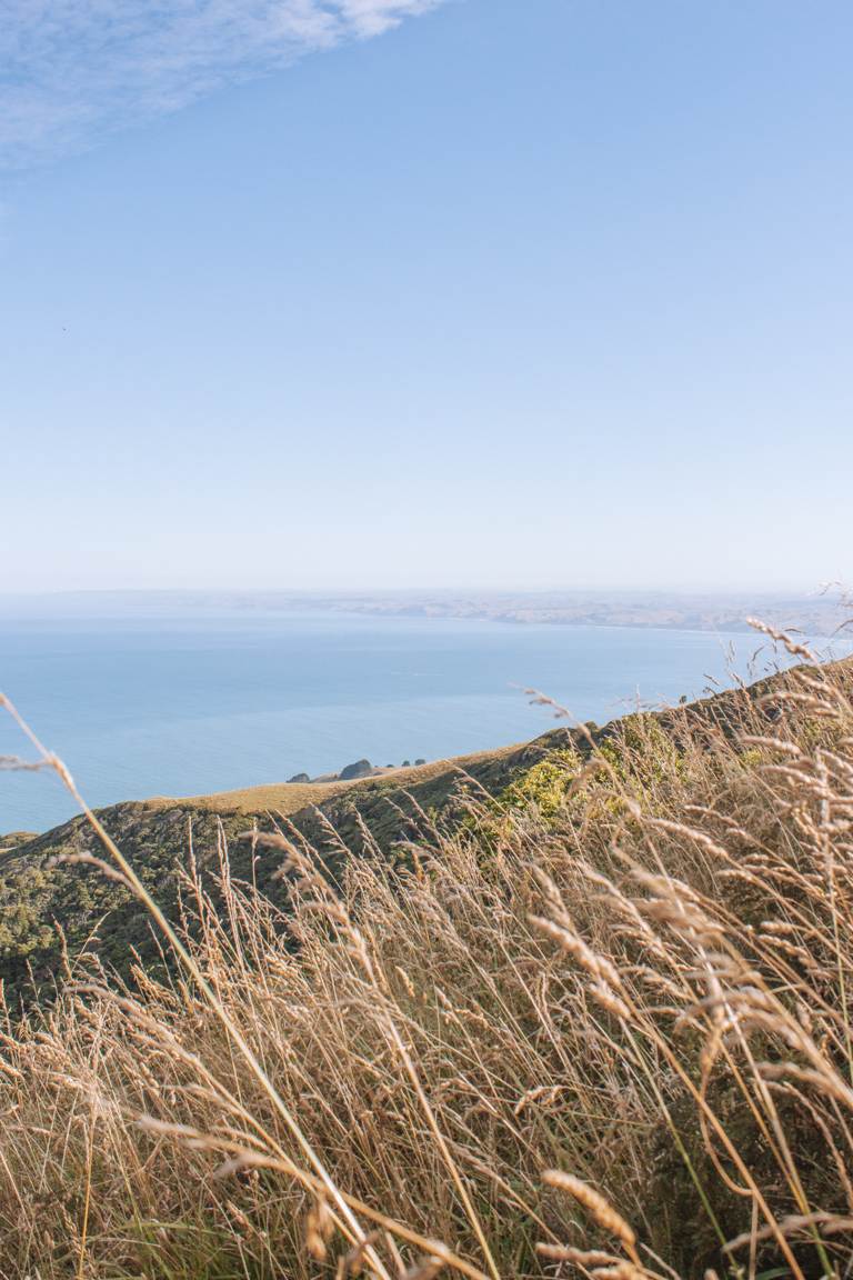
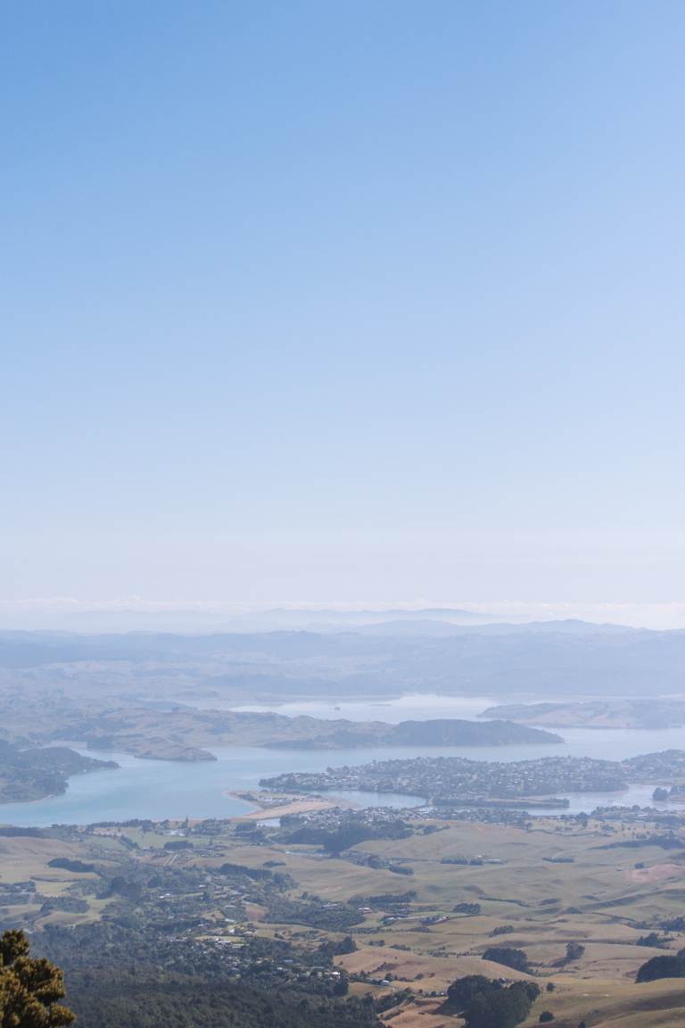
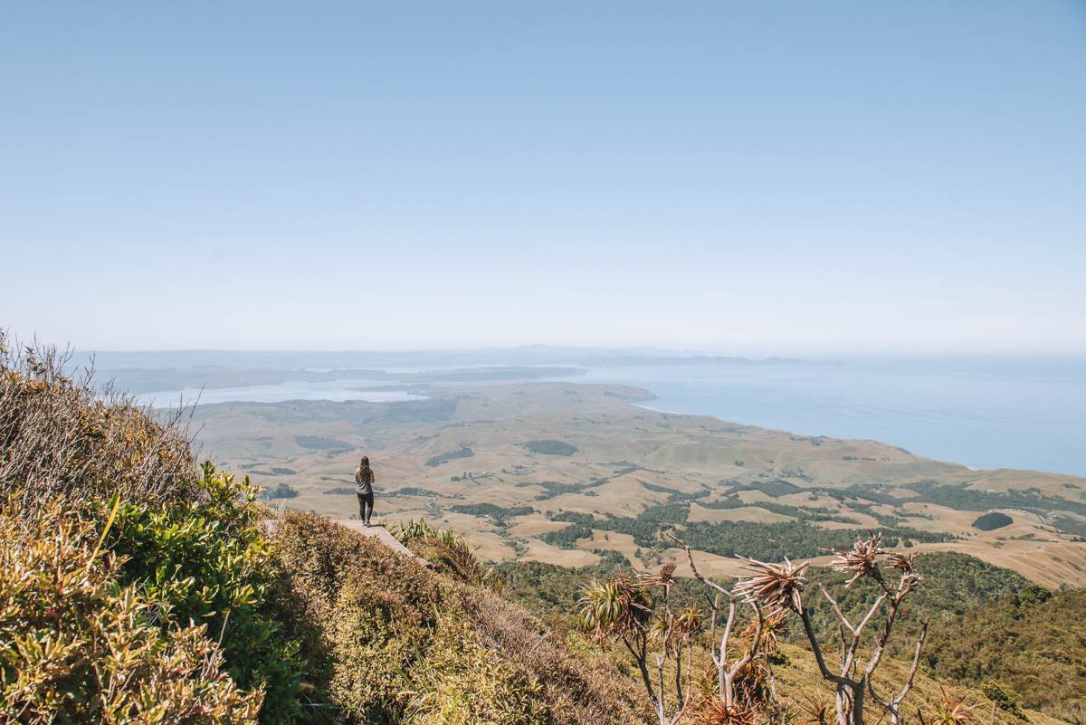
Even though it is a tough hike, the views across the Tasman Sea, the western coastline of the North Island and through native New Zealand bush definitely makes the scramble worthwhile.
PARKING
As mentioned above, depending on the direction you plan to hike, there are two seperate carparks. One either side of the mountain.
If you plan to hike from Whaanga Road (opposite the Te Toto Gorge lookout) you can find the carpark on Google maps here. Otherwise ‘Karioi Road Car Park’ is the alternative which you can locate using this link.
I’ve only experienced parking at Whaanga Road. Here, there were plenty of spaces (roughly 20) but first in first serve. If you want to be guaranteed a spot, make sure to start on the trail early.
MOUNT KARIOI ACCOMMODATION
Mount Karioi doesn’t offer any huts or accommodation, but there are numerous options available nearby in Raglan.
AirBnB offer some great choices but if you’re wanting something a bit unique make sure to check Canopy Camping. These are stays which have the best views and are made to be immersed in nature. I’ve been lucky enough to stay in multiple of their accommodations over the years and they have never disappointed.
In this post, we’ve delved into everything you need to know about Mount Karioi and why it’s so special. It is a tough trail but so worth it for it’s stunning views and is an adventure worth taking.